Below is the uncorrected machine-read text of this chapter, intended to provide our own search engines and external engines with highly rich, chapter-representative searchable text of each book. Because it is UNCORRECTED material, please consider the following text as a useful but insufficient proxy for the authoritative book pages.
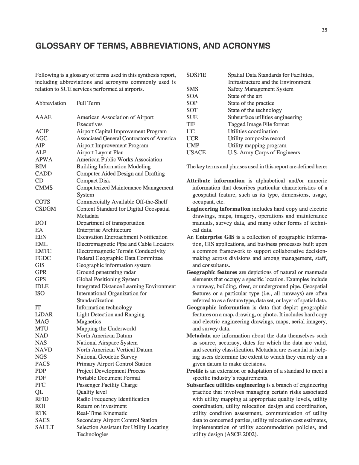
35 Following is a glossary of terms used in this synthesis report, including abbreviations and acronyms commonly used is relation to SUE services performed at airports. Abbreviation Full Term AAAE American Association of Airport Executives ACIP Airport Capital Improvement Program AGC Associated General Contractors of America AIP Airport Improvement Program ALP Airport Layout Plan APWA American Public Works Association BIM Building Information Modeling CADD Computer Aided Design and Drafting CD Compact Disk CMMS Computerized Maintenance Management System COTS Commercially Available Off-the-Shelf CSDGM Content Standard for Digital Geospatial Metadata DOT Department of transportation EA Enterprise Architecture EEN Excavation Encroachment Notification EML Electromagnetic Pipe and Cable Locators EMTC Electromagnetic Terrain Conductivity FGDC Federal Geographic Data Committee GIS Geographic information system GPR Ground penetrating radar GPS Global Positioning System IDLE Integrated Distance Learning Environment ISO International Organization for Standardization IT Information technology LiDAR Light Detection and Ranging MAG Magnetics MTU Mapping the Underworld NAD North American Datum NAS National Airspace System NAVD North American Vertical Datum NGS National Geodetic Survey PACS Primary Airport Control Station PDP Project Development Process PDF Portable Document Format PFC Passenger Facility Charge QL Quality level RFID Radio Frequency Identification ROI Return on investment RTK Real-Time Kinematic SACS Secondary Airport Control Station SAULT Selection Assistant for Utility Locating Technologies Glossary of Terms, abbreviaTions, and acronyms SDSFIE Spatial Data Standards for Facilities, Infrastructure and the Environment SMS Safety Management System SOA State of the art SOP State of the practice SOT State of the technology SUE Subsurface utilities engineering TIF Tagged Image File format UC Utilities coordination UCR Utility composite record UMP Utility mapping program USACE U.S. Army Corps of Engineers The key terms and phrases used in this report are defined here: Attribute information is alphabetical and/or numeric information that describes particular characteristics of a geospatial feature, such as its type, dimensions, usage, occupant, etc. Engineering information includes hard copy and electric drawings, maps, imagery, operations and maintenance manuals, survey data, and many other forms of techni- cal data. An Enterprise GIS is a collection of geographic informa- tion, GIS applications, and business processes built upon a common framework to support collaborative decision- making across divisions and among management, staff, and consultants. Geographic features are depictions of natural or manmade elements that occupy a specific location. Examples include a runway, building, river, or underground pipe. Geospatial features or a particular type (i.e., all runways) are often referred to as a feature type, data set, or layer of spatial data. Geographic information is data that depict geographic features on a map, drawing, or photo. It includes hard copy and electric engineering drawings, maps, aerial imagery, and survey data. Metadata are information about the data themselves such as source, accuracy, dates for which the data are valid, and security classification. Metadata are essential in help- ing users determine the extent to which they can rely on a given datum to make decisions. Profile is an extension or adaptation of a standard to meet a specific industryâs requirements. Subsurface utilities engineering is a branch of engineering practice that involves managing certain risks associated with utility mapping at appropriate quality levels, utility coordination, utility relocation design and coordination, utility condition assessment, communication of utility data to concerned parties, utility relocation cost estimates, implementation of utility accommodation policies, and utility design (ASCE 2002).
